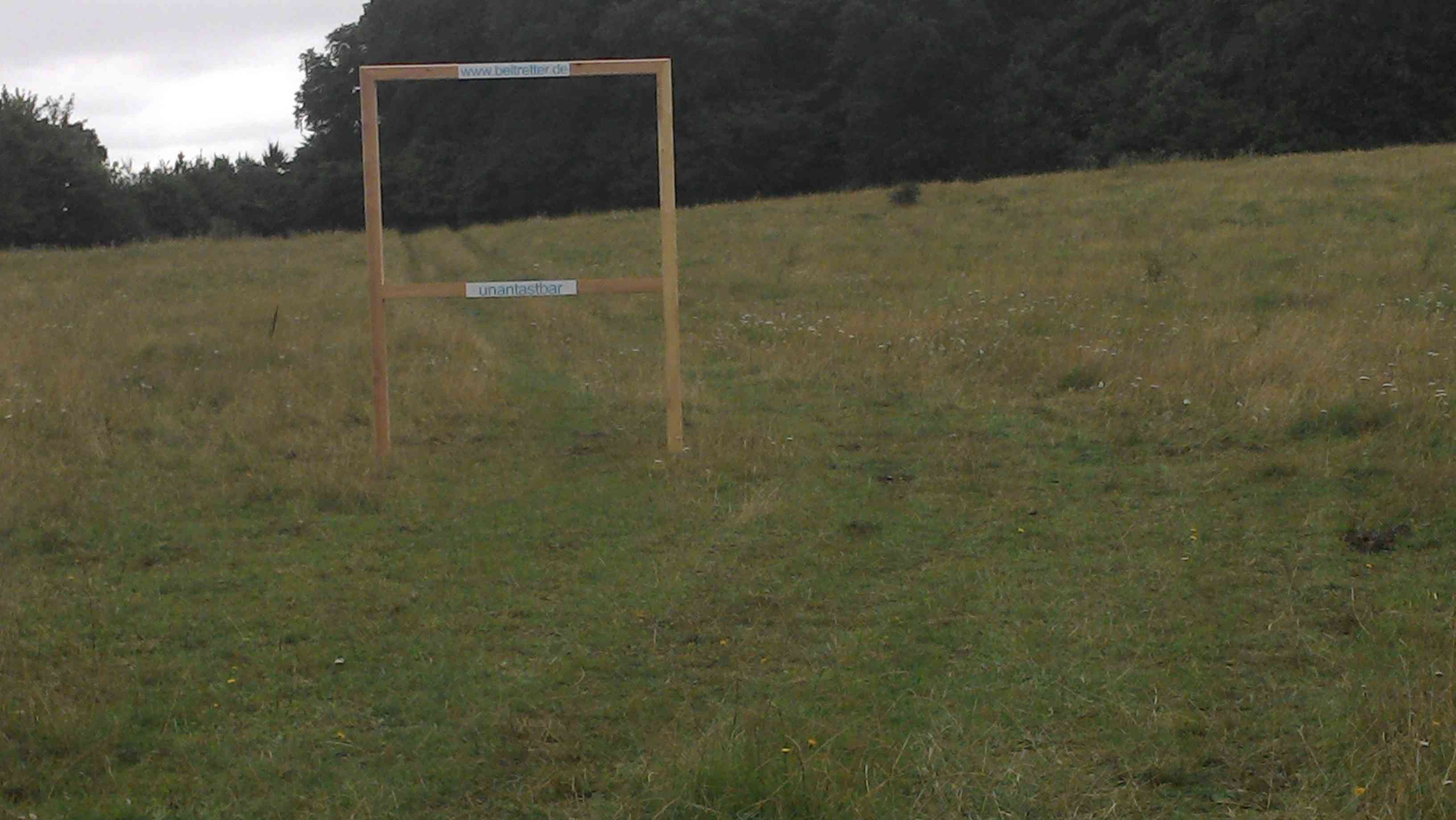
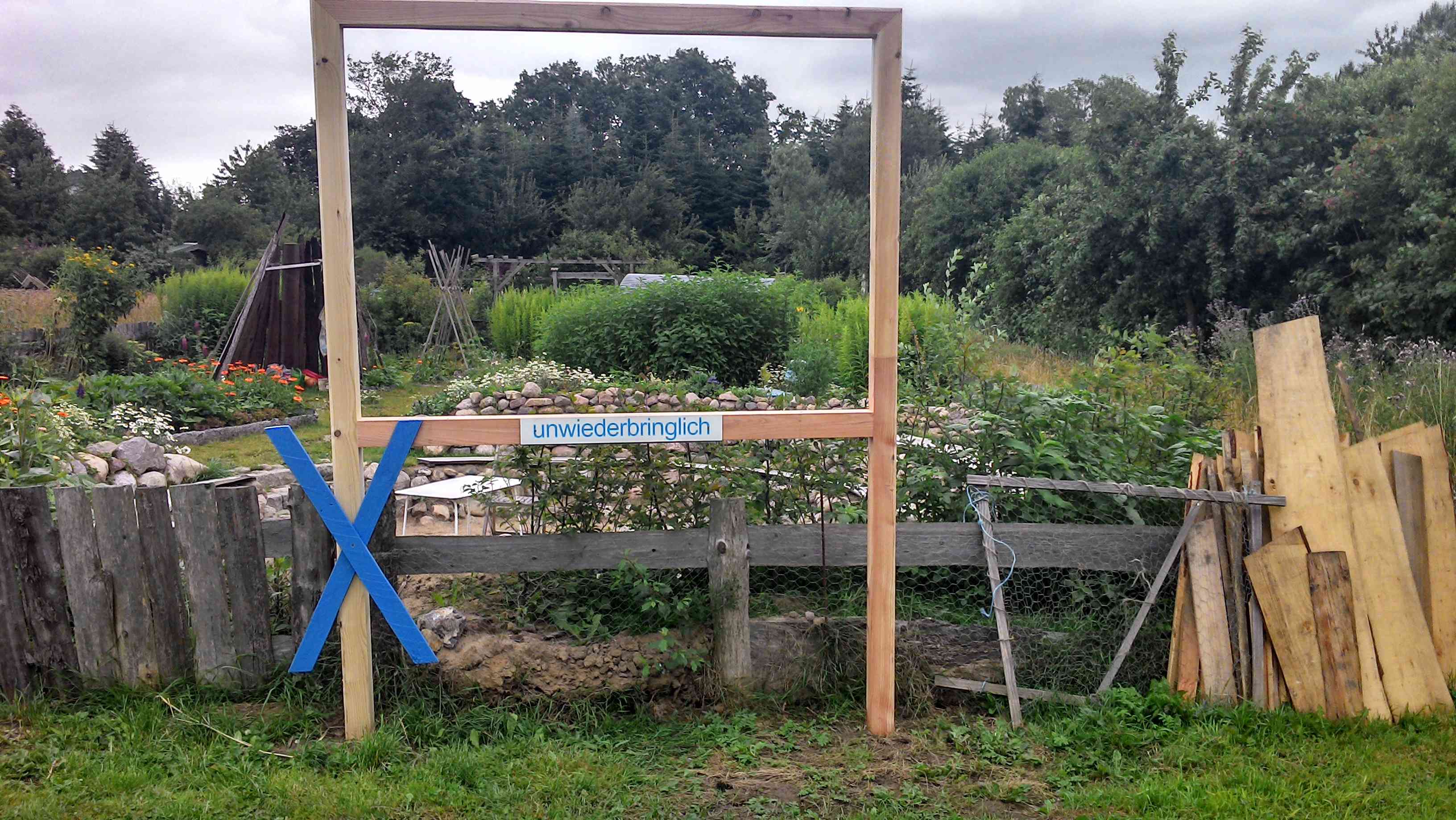
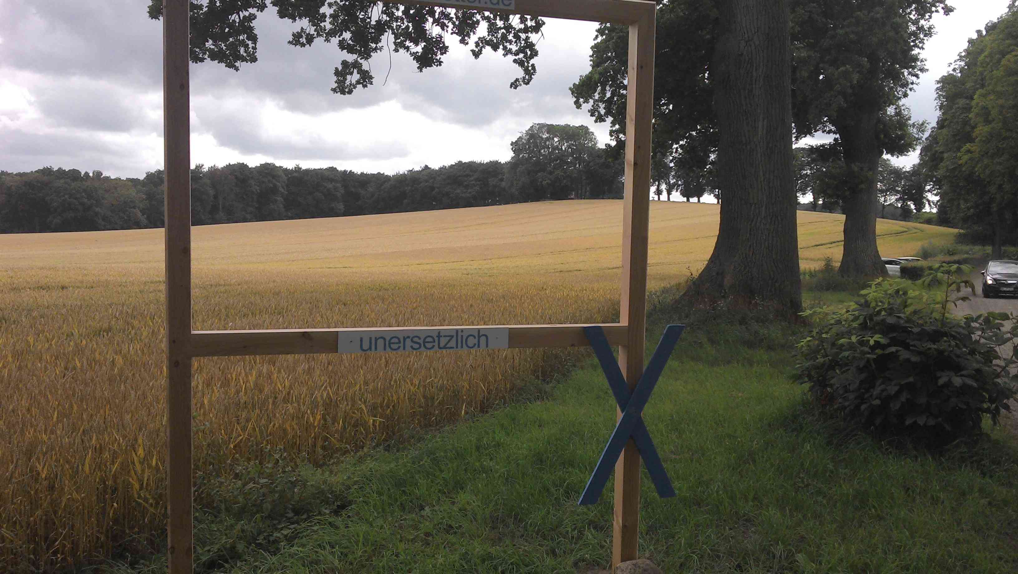
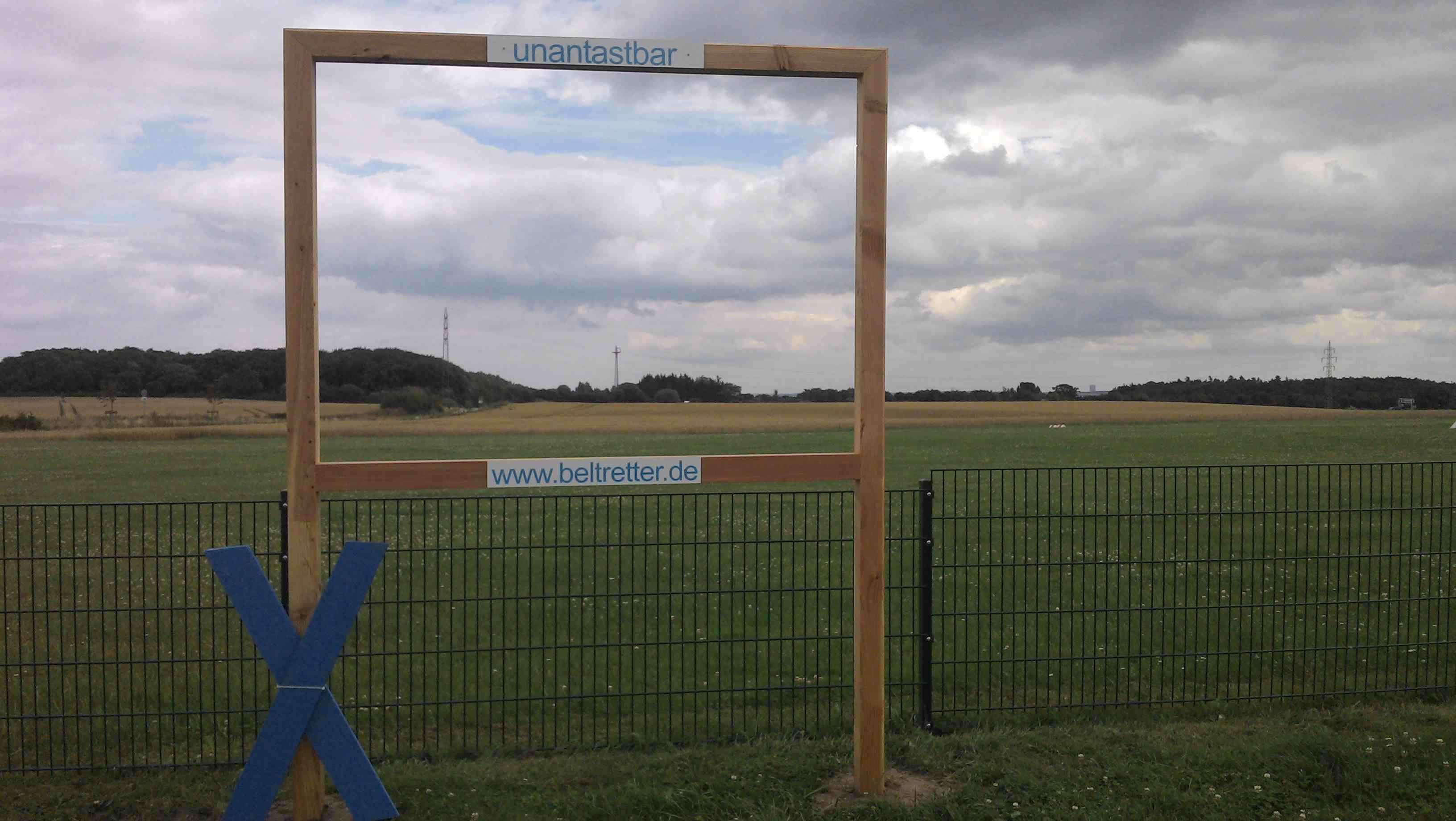
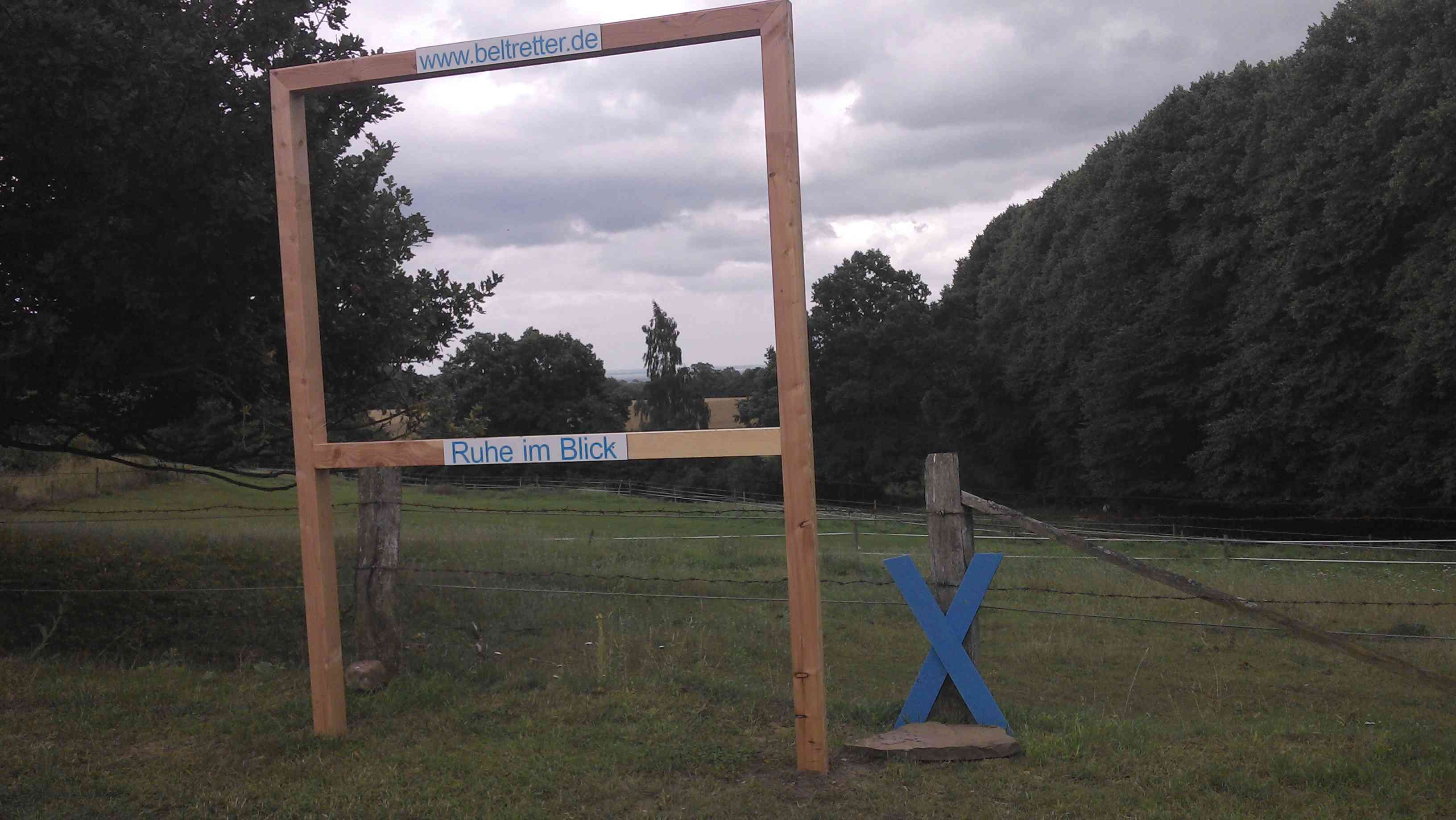
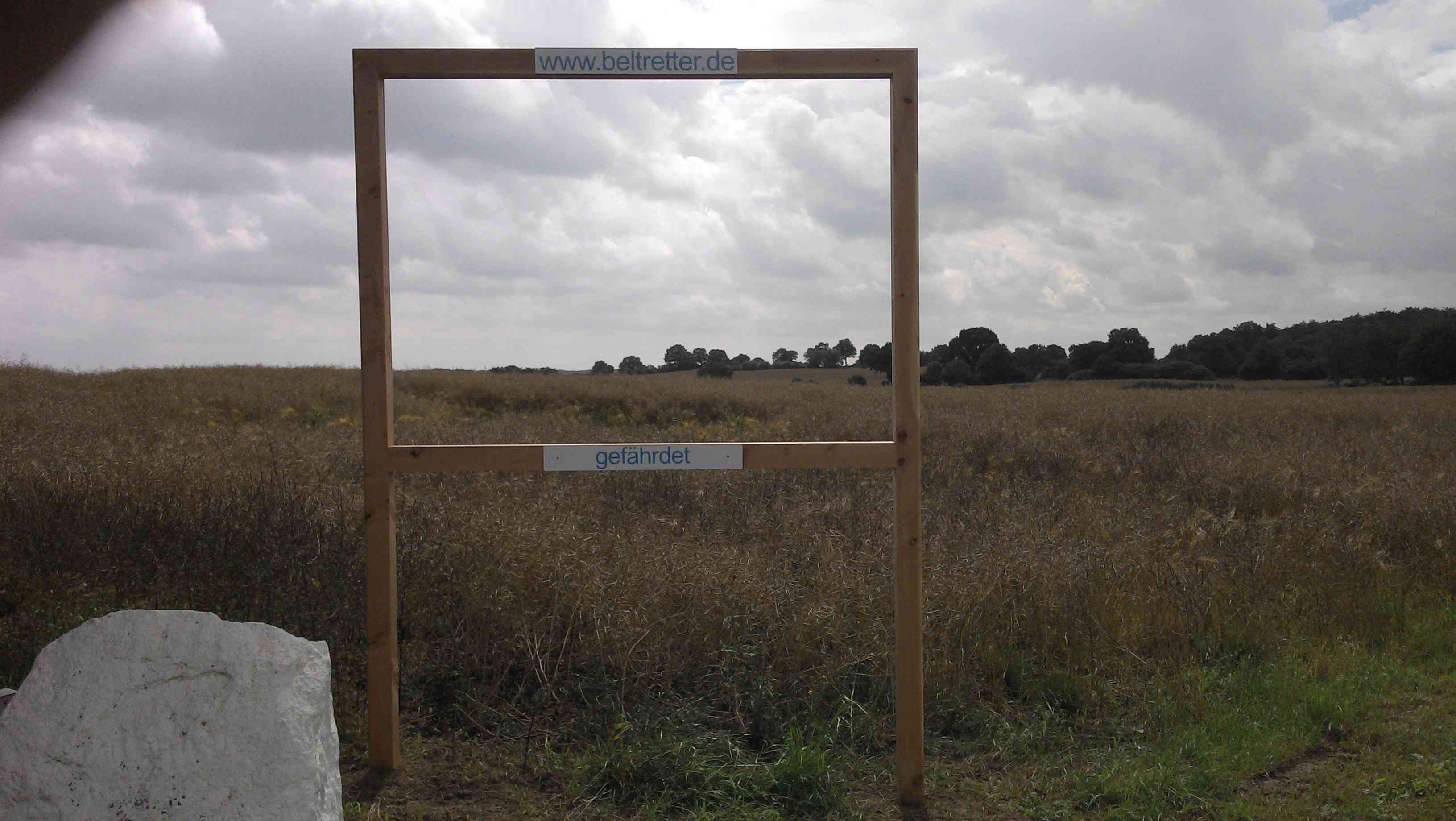
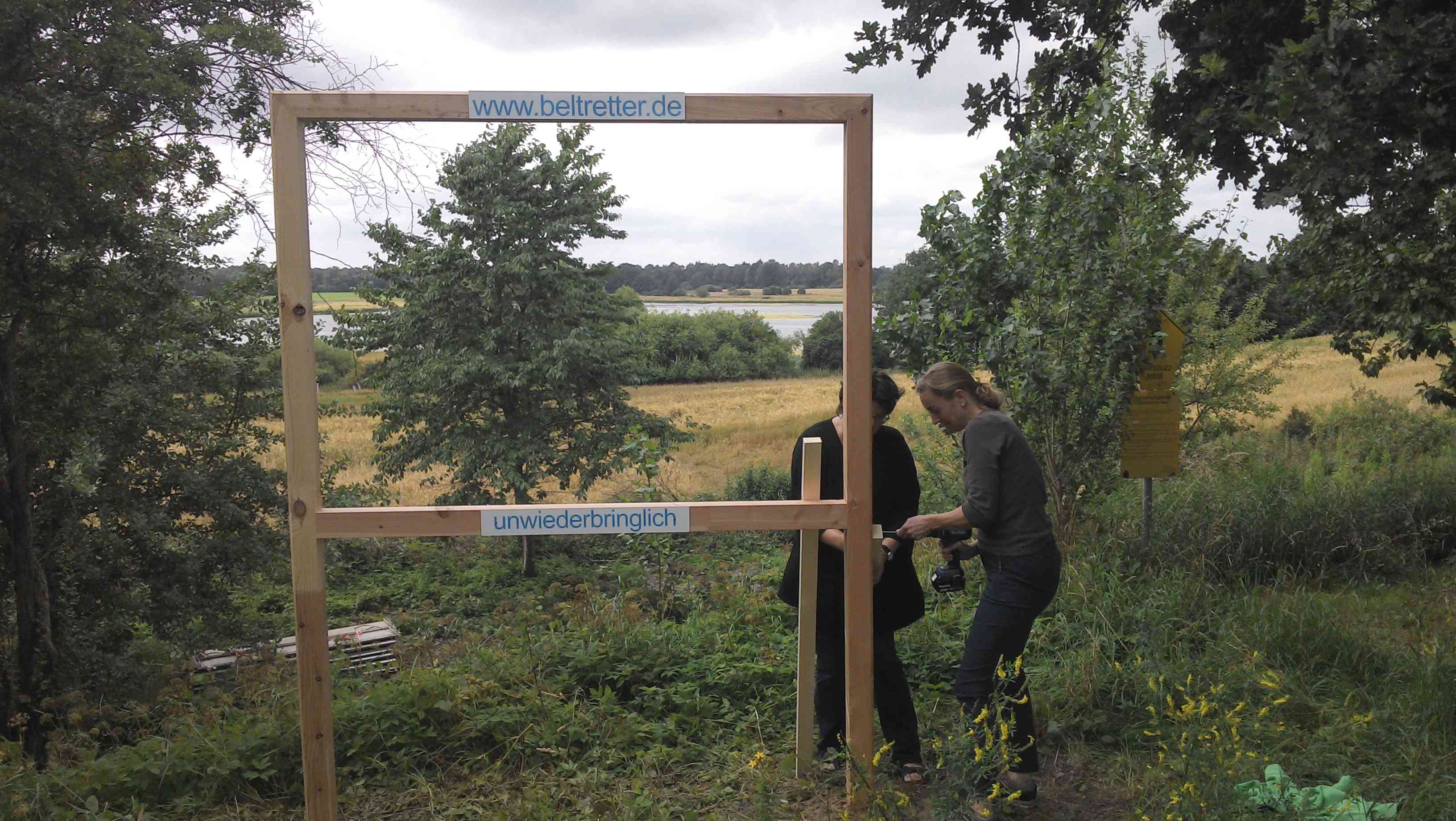
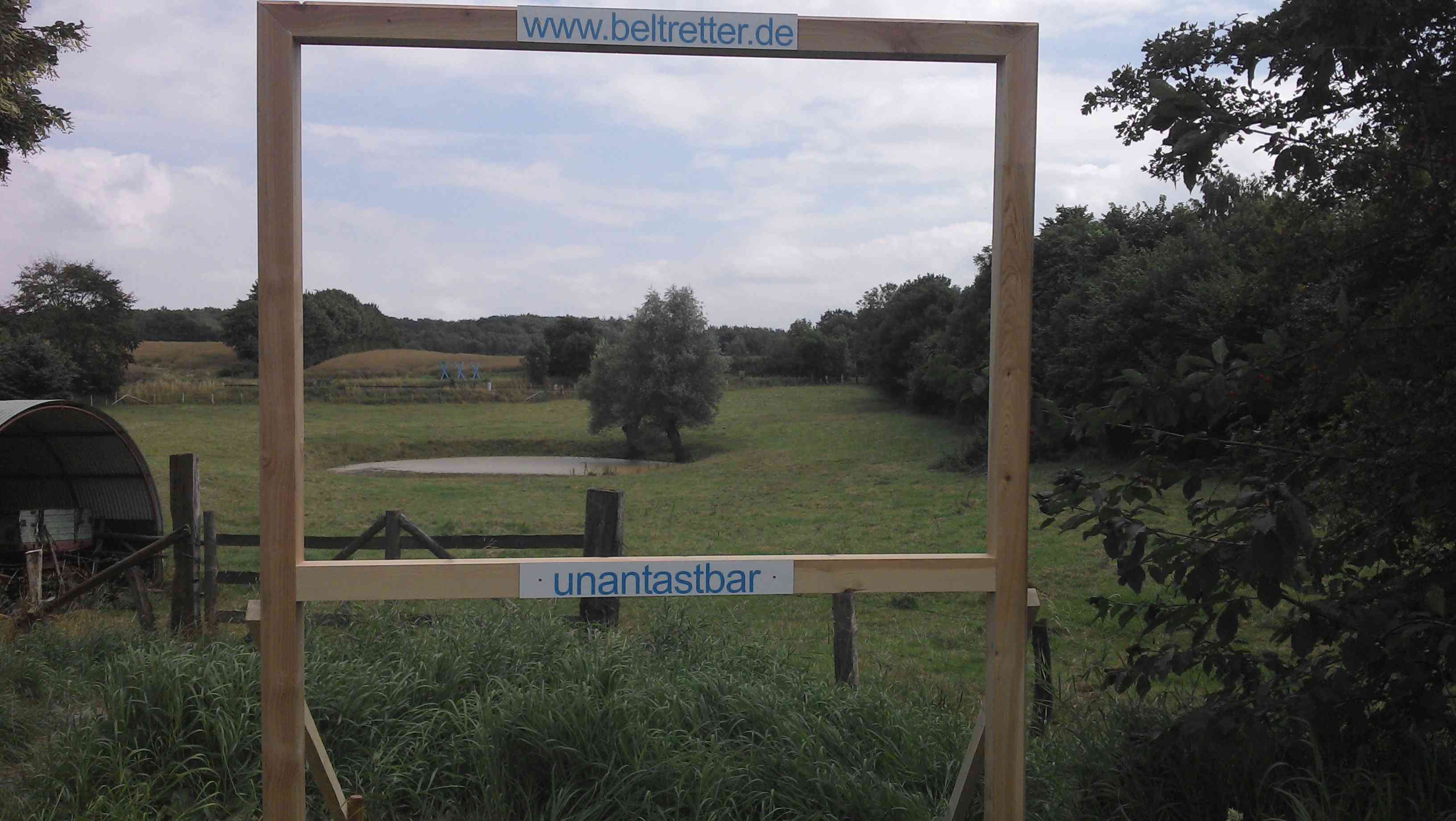
Damit jeder unsere Landschaftsrahmen auch findet, nachfolgend zu jedem Foto ein Link zu Google-Maps. Dort wird der aktuelle Standort direkt angezeigt. Diese Auswahl gibt die Standorte zwischen Seeretz und Lensahn wieder – für die nördliche Halbkugel müßte sich noch jemand auf den Weg machen und per Smartphone die Standortbestimmung vornehmen.
http://maps.google.com/maps?q=54.21536,10.88794
http://maps.google.com/maps?q=54.08166,10.77385
http://maps.google.com/maps?q=54.06936,10.74377
http://maps.google.com/maps?q=54.04699,10.71058
http://maps.google.com/maps?q=53.98835,10.73708
http://maps.google.com/maps?q=53.95112,10.74407
http://maps.google.com/maps?q=53.94787,10.7383